
We made a pretty quick dash across Afghanistan from Herat to Kandahar to Kabul. In 1977 there was no more direct highway through the center of the country.

Tea shop in Herat. The bread would have come from a nearby bakery. Hot water for the tea comes from the samovar on the right. The tea was delicious and often flavored with a cardamom seed.

Just a few guys hanging out in in front of the tea shop.

Unknown village in western Afghanistan.

Bakery. The oven is the hole in front of the guy holding the skewered flatbread. The guy with the red hat is forming the loaves. Behind him, balls of dough ready to go.

Horse carts in Kandahar

Pedestrian, Kandahar

Kabul. You can see my tent-mate, Bill, at the left, wearing shorts with hands on hips.

Woodworking shop, Kabul

Kabul

Kabul

Lentil seller, Kabul

Clothing market, Kabul

On the way to Bamiyan Valley

On the road

Red City (Shahr-e Zuhak), Bamiyan.

Red City (Shahr-e Zuhak), Bamiyan.

On the way to Bamiyan

Near Bamian Valley

Bamiyan Valley. On the cliff in the distance you can see the two gian niches, on the left and right, which housed the well-known giant Buddha images.
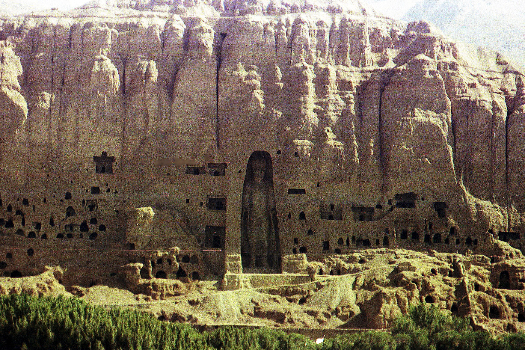
Closer view of one of the Buddha images of Bamiyan Valley. The two large images were dynamited and destroyed by the Taliban in 2001
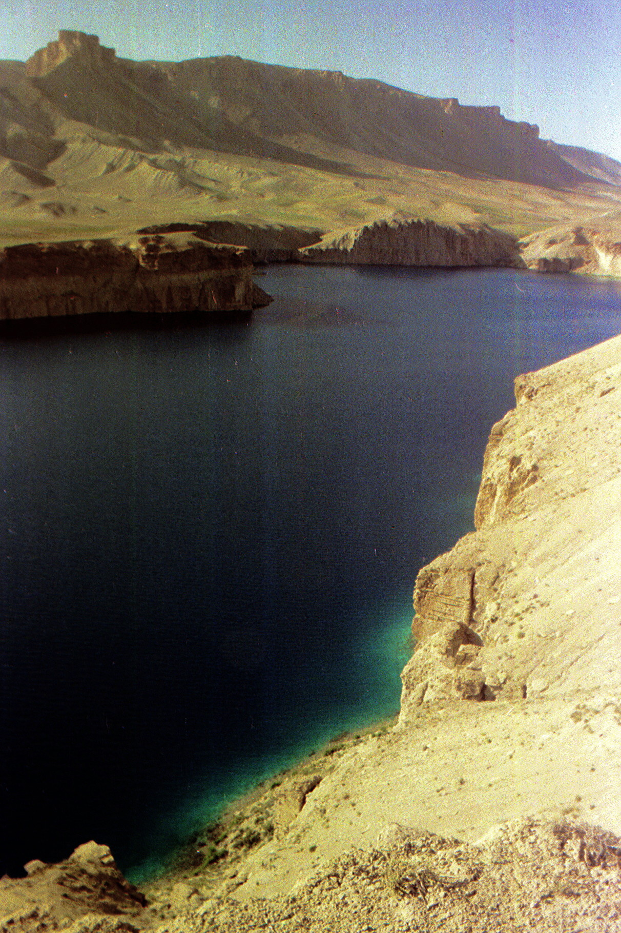
Band-e Amir National Park
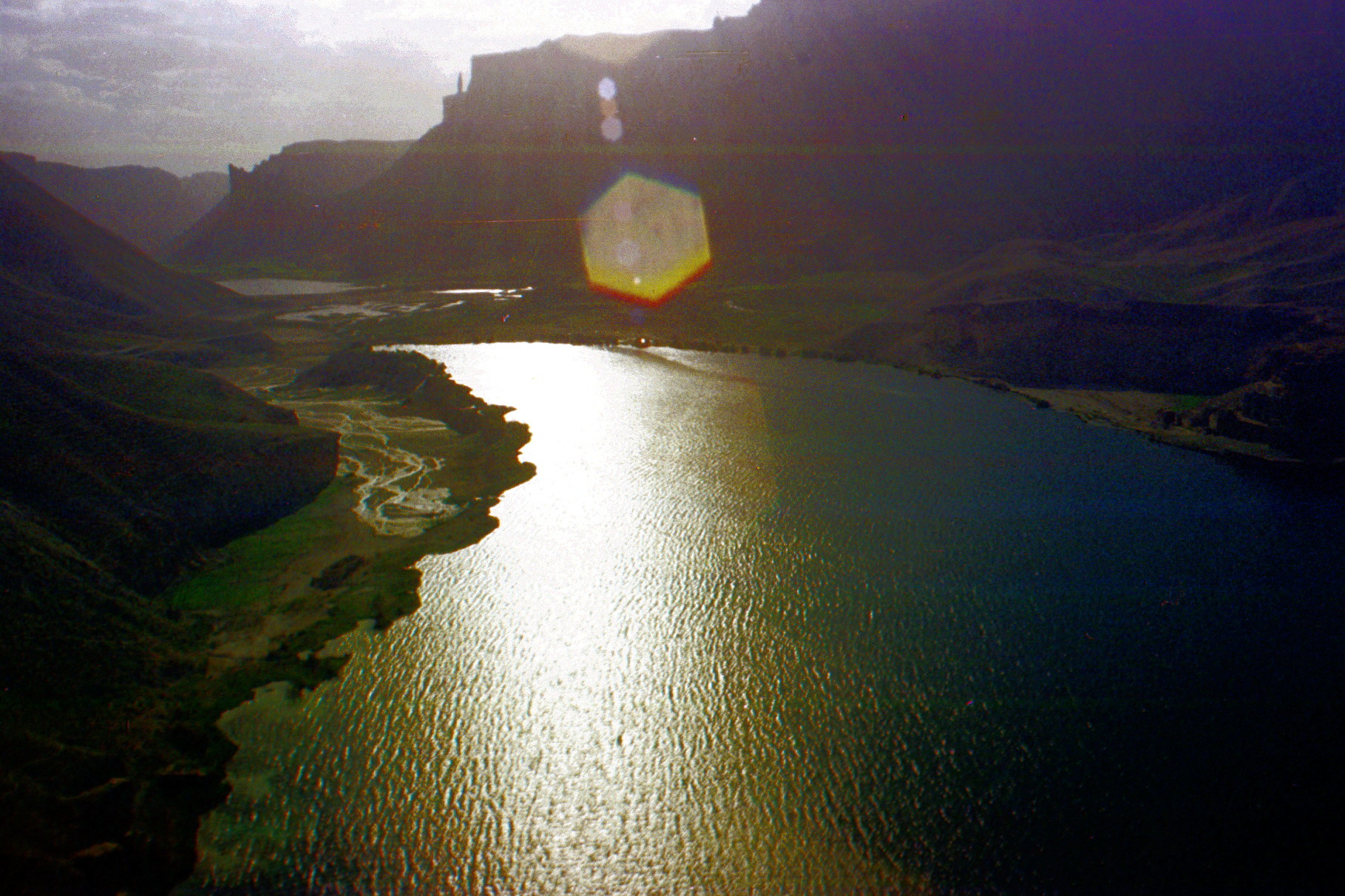
Band-e Amir National Park
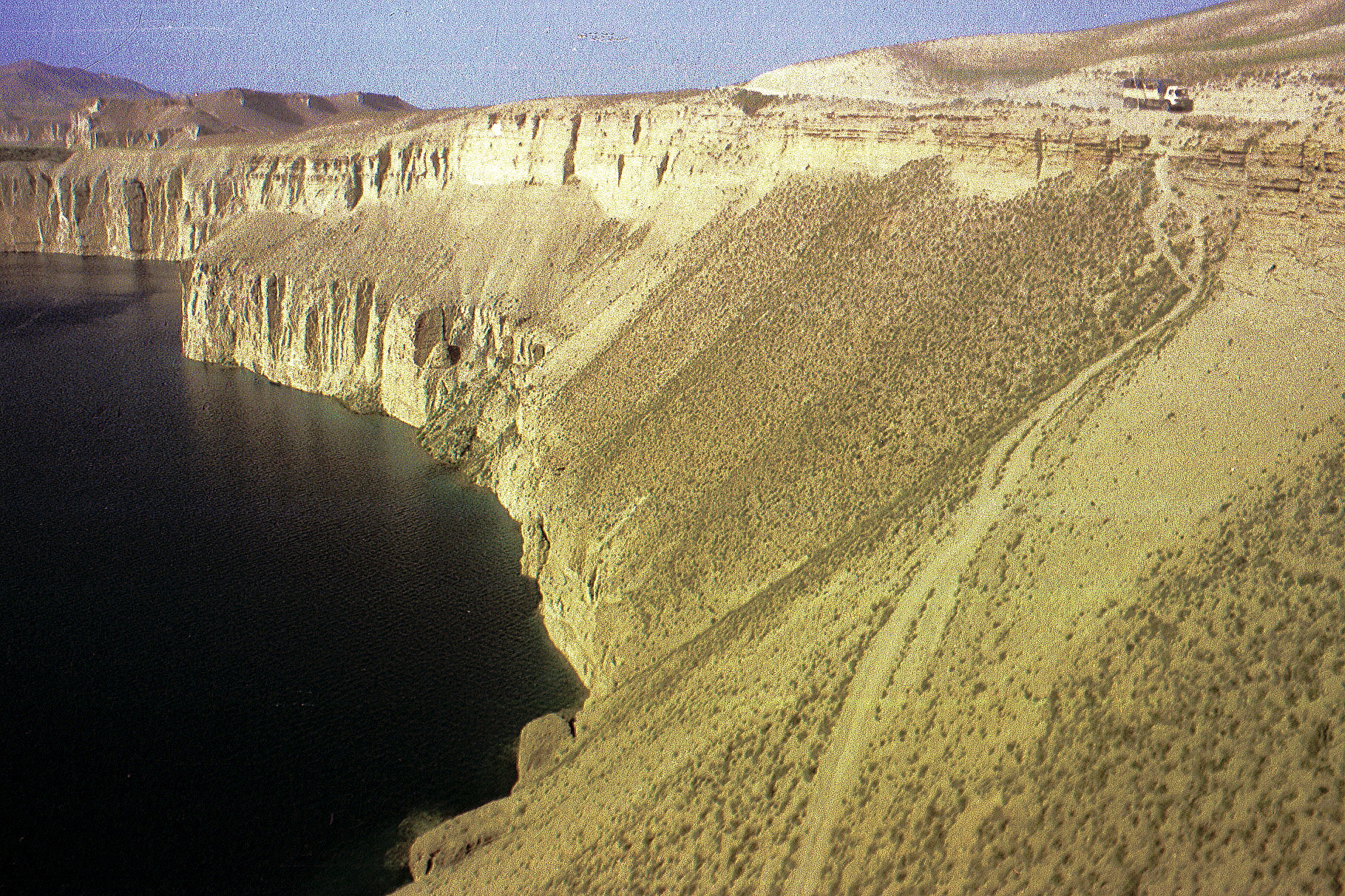
Band-e Amir National Park. You can see our truck at the upper right.

Band-e Amir National Park
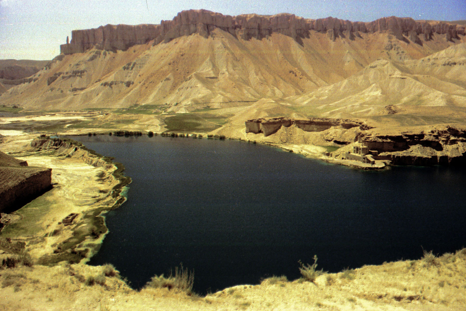
Band-e Amir National Park
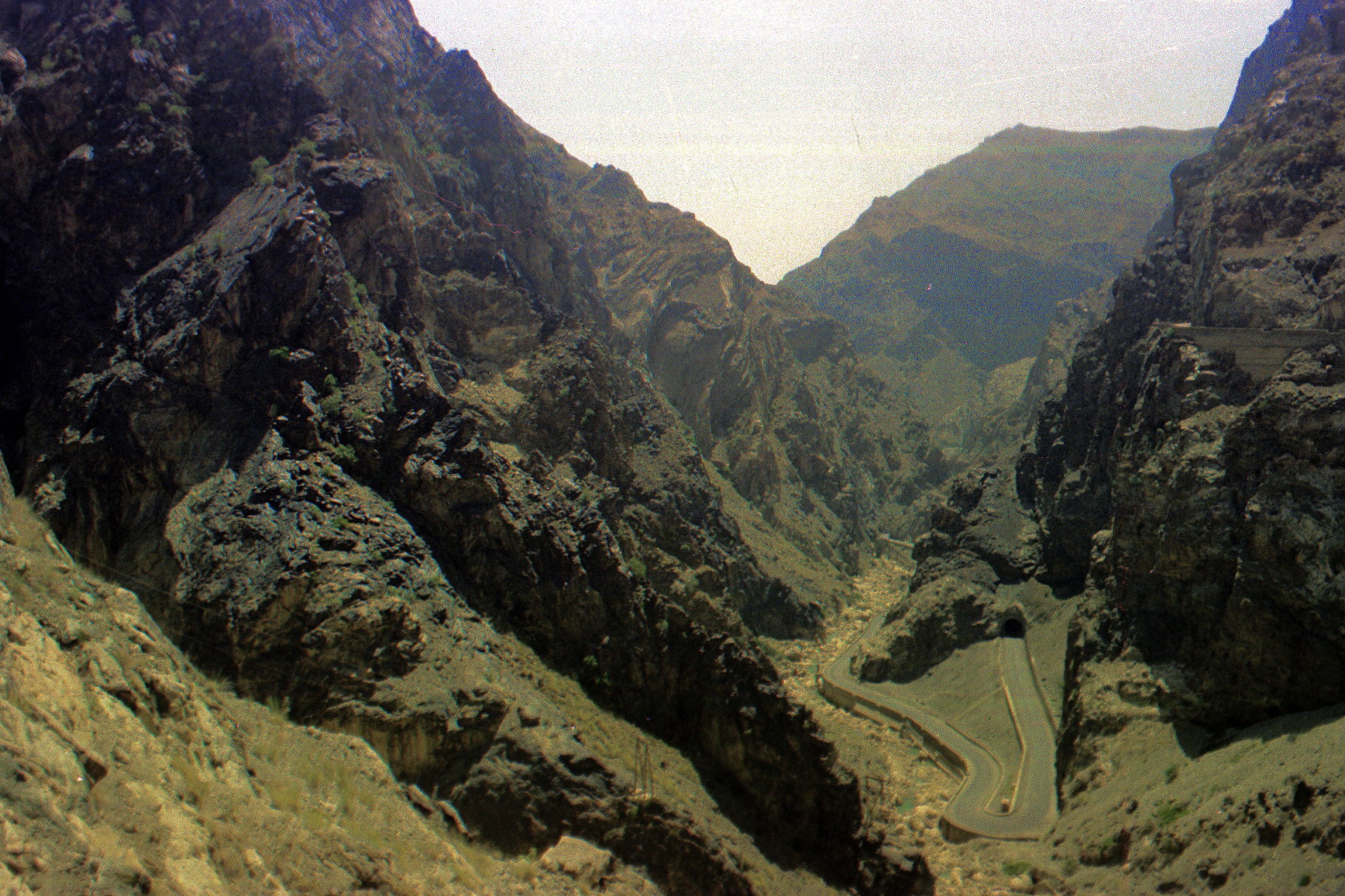
From Bamiyan we returned to Kabul and then drove through the Khyber Pass to Pakistan.

Khyber Pass
| Introduction | England | Scotland | Europe |
| Turkey | Iran | Afghanistan | Pakistan |
| India 1 | India 2 | Nepal | Burma |
| Thailand | Malaysia/Singapore | Indonesia 1 | Indonesia 2 |
| Hong Kong | Macau | Japan | Korea |
Photographs and text copyright Michael Newman and William Garsden: 2025